
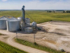

Aerial Surveying for Grain Storage Site Expansion
Adding bins, a dryer, or a new receiving pit to a busy grain yard takes more planning than most owners expect, and aerial surveying gives
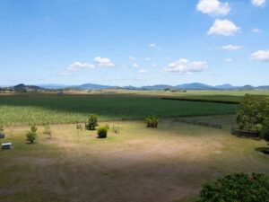
Planning a Rural Homesite With a Land Survey
A land survey gives you the measured facts to pick a building area, plan access, and fit the well and septic system before anyone breaks

Drone Survey Data for Planning Wind-Energy Access Roads
A wind turbine can’t go up until its parts can reach the pad. Blades, tower sections, and cranes are some of the largest loads on
Aerial Survey for Aggregate Sites and Material Stockpiles
An aerial survey measures the whole site from above in a single visit, often in a few hours. It captures stockpiles, pit faces, haul roads,
Drone Land Surveying to Track Earthwork Progress
Dirt moves fast on an active job site, and the money tied to it moves even faster. A few hundred cubic yards of extra hauling,

When Should You Get an ALTA Survey Before Closing?
Signing a purchase agreement on commercial property starts a clock. Title work, lender requests and inspections all compete for the same stretch of time, and